localthings as an alternative to uMap
uMap is a free, open-source way to build a map on OpenStreetMap data, and it is genuinely useful. What it does not give you is a polished, branded front end — which is exactly where localthings starts.
- uMap is free and open source, but it asks for technical knowledge and the result looks bare.
- localthings gives you the same ease without configuration, on a map that looks finished from the start.
- Large datasets work just as well: import from CSV or JSON, and points cluster automatically.
- Free to start; a custom domain and removing our branding are in the paid plans.
localthings vs. uMap
A factual comparison on the points that matter to most people.
| Feature | localthings | uMap |
|---|---|---|
| Free to start | ||
| Open source | ||
| No technical knowledge needed | Partly | |
| Your own colours and logo | Limited | |
| Rich location cards with photos | Limited | |
| Category filters for visitors | Limited | |
| Import from CSV / Excel with geocoding | GeoJSON / manual | |
| Hosting and updates handled for you | Self-hosted or shared instance | |
| White-label on your own domain | On Premium | Self-hosted only |
When uMap is the right call
When you want something free and open-source, you are comfortable with GeoJSON and a more technical editor, and the look of the result is not the point. It costs nothing and there is no account to manage.
When localthings fits better
When the map represents an organisation: your colours, your logo, category filters, location cards with photos and opening hours, and a clean embed. Hosting, mobile layout and updates are handled for you.
16,988 points, no configuration
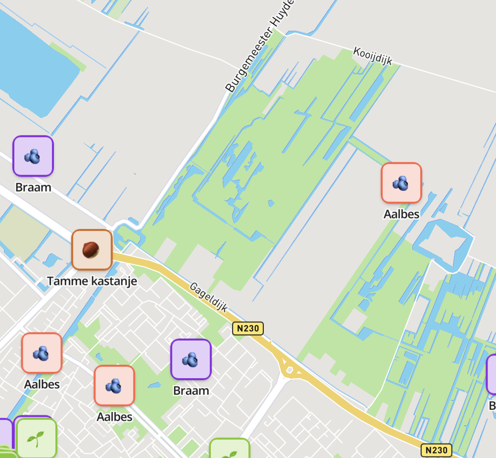
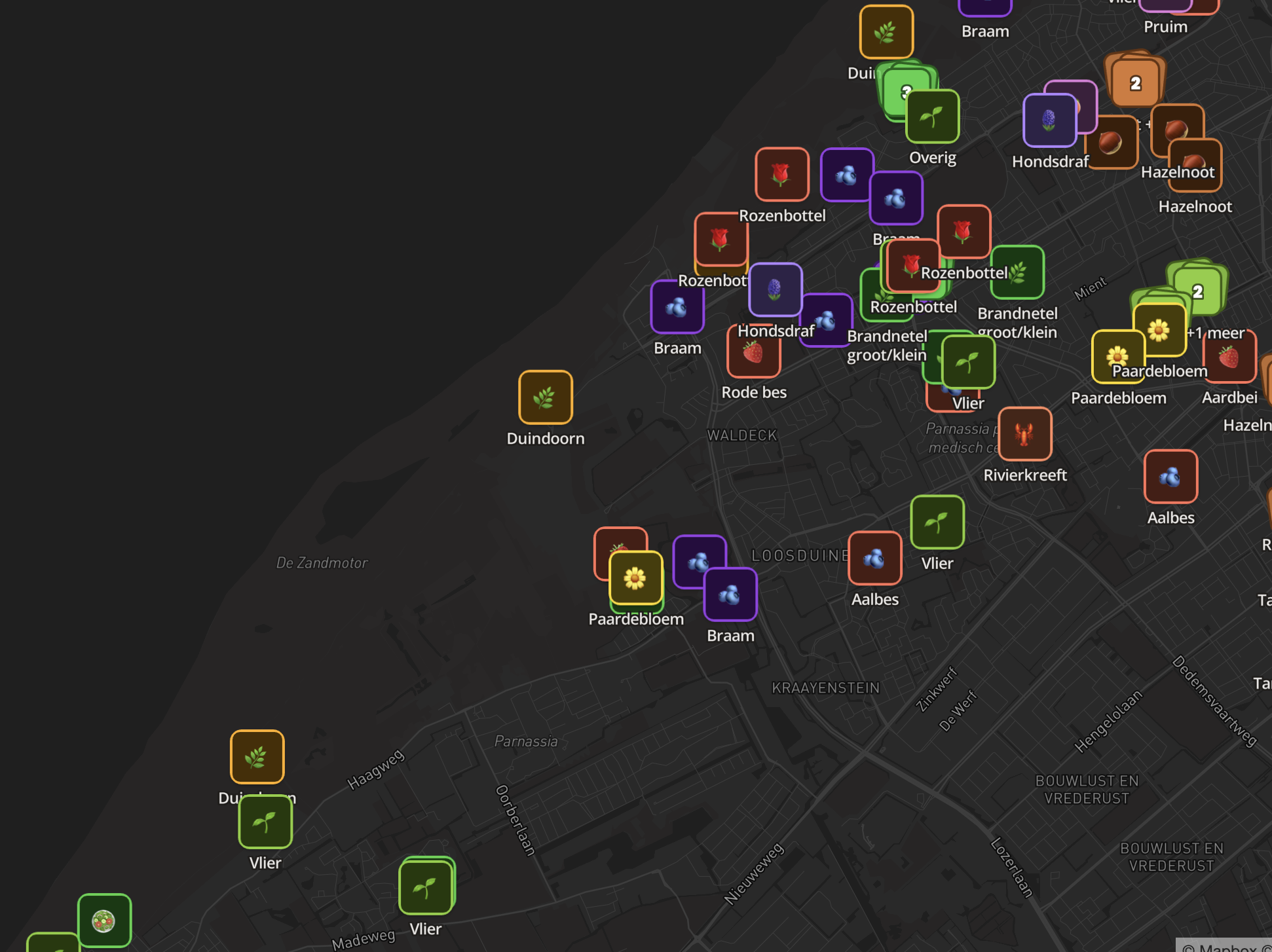
This map runs on a dataset of nearly 17,000 points. No server work, no stylesheet — imported and published like any other map.
- 16,988 points across 8 categories.
- Visitors switch categories on and off instead of scrolling everything.
- Points cluster automatically until you zoom in.
- One import, with no manual layer or style configuration.
Frequently asked questions
Does localthings use OpenStreetMap data?
The base map styles are commercial, and several of our public maps are built from open data including OpenStreetMap. Your own locations are your own data.
Can I import a uMap export?
Convert the GeoJSON export to a CSV with one row per location and import that. Addresses are geocoded on import if you do not have coordinates.
Why pay when uMap is free?
You do not have to — if the visual result and the hosting do not matter, uMap is a reasonable choice. Paid plans buy you branding, filters, richer location cards, managed hosting and analytics.
What is the free plan?
Free to start with one map and up to 100 locations; paid plans are per map.