A site map where visitors find everything
At a festival or event, visitors want to know where the main stage, the food trucks, the toilets and the first-aid post are — at the moment they are standing there.
Ideal for: StagesFood trucks & barsToilets & first aidEntrances & exitsParking & bike racks
Short answer
- An event map puts stages, food trucks, toilets and first aid on one map as clickable points, which visitors follow on their phone.
- They open it from a QR code on site or a link — no app required.
- No code needed: you place the points and, where it helps, draw areas straight onto the map.
- When the layout or the line-up changes you edit the map and visitors see it straight away.
- Free to start; a custom domain and removing our branding are in the paid plans.
What that looks like
Our own festival site map
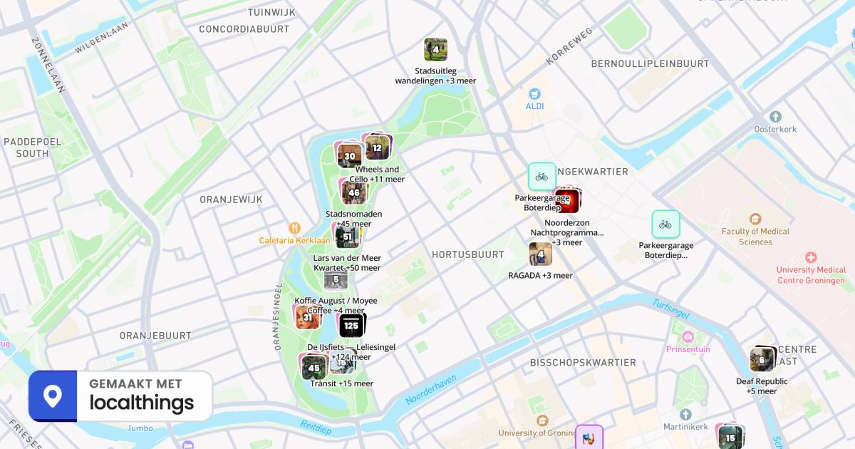
We built the map next to this one for Noorderzon 2026 in Groningen — same Studio, same steps. Click into it: it is the real, published map.
- 432 points across the site: stages, food, first aid and info points.
- Visitors filter by category instead of scanning a printed map.
- Every point has its own card with a description and opening hours.
- One link or QR code, which you update without republishing.
What you get
Once you build a map for your event in localthings, this comes with it as standard:
Draw areas
Draw polygons alongside individual locations.
Category and date filters
Filter by topic, or by today, this weekend or this month.
Introduce your map
Use your logo, a title and a description to explain what visitors will find.
Also useful: build the map from a list of locations · embed the site map on your own site