Build your own interactive map
An interactive map is one visitors can click, filter and search — a very different thing from a static image. With localthings you build one yourself, without code, in your own branding.
- An interactive map is clickable: visitors open locations, filter by category and search within it. A static map image cannot do that.
- You need no code for it. You type locations in, or import them from a CSV or Excel list.
- Categories with their own colours and icons decide how visitors filter the map.
- You publish it as a shareable link or as an embed on your own website.
- Free to start; a custom domain and white-label are in the paid plans.
How it works
- 1
Add your locations
Type addresses in, or import them all at once from a CSV file. Every location becomes a pin on the map.
- 2
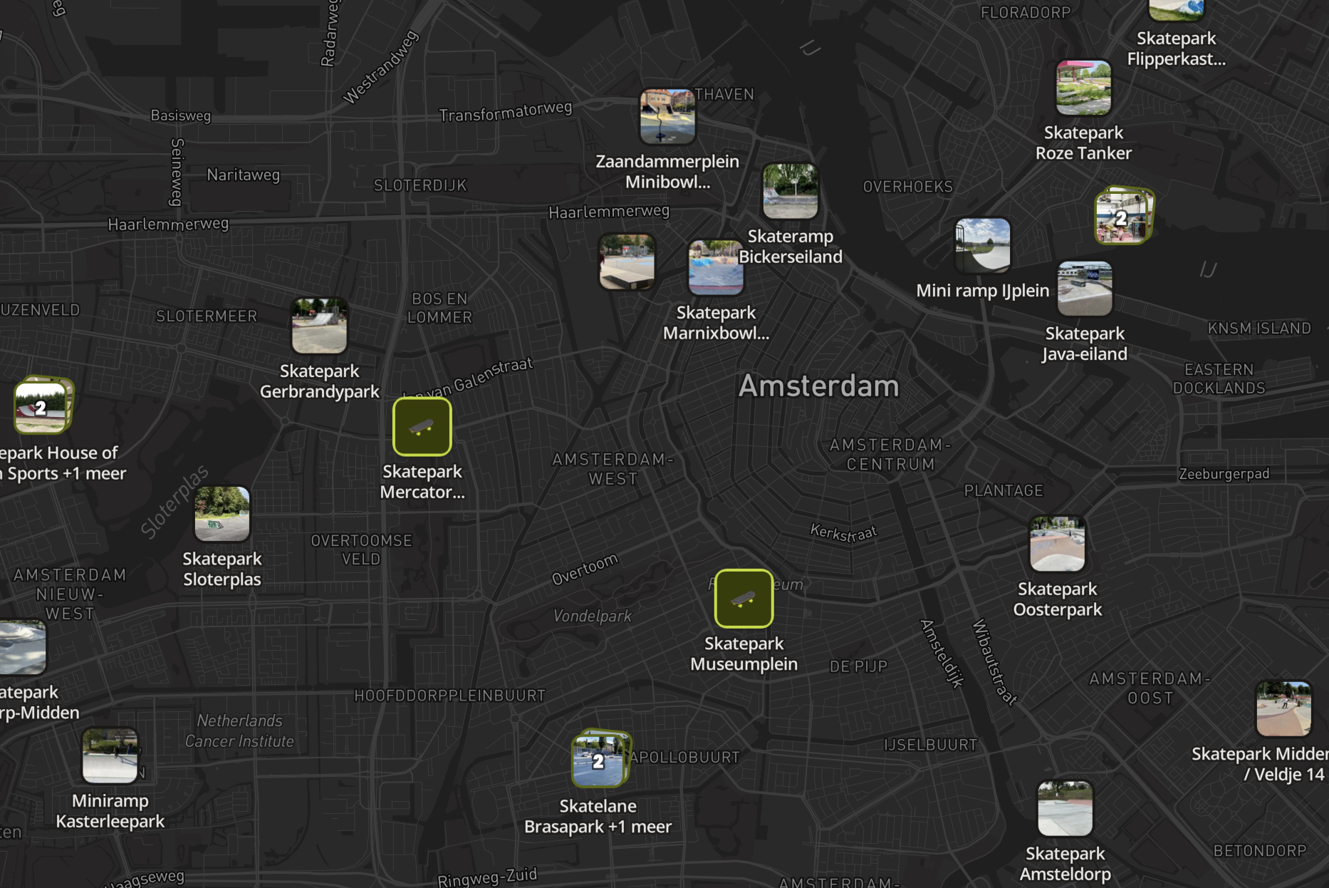
Give the map your style
Pick a map style, set up categories with their own colours and icons, and add your logo.
localthings.nl/atlas/jouw-kaart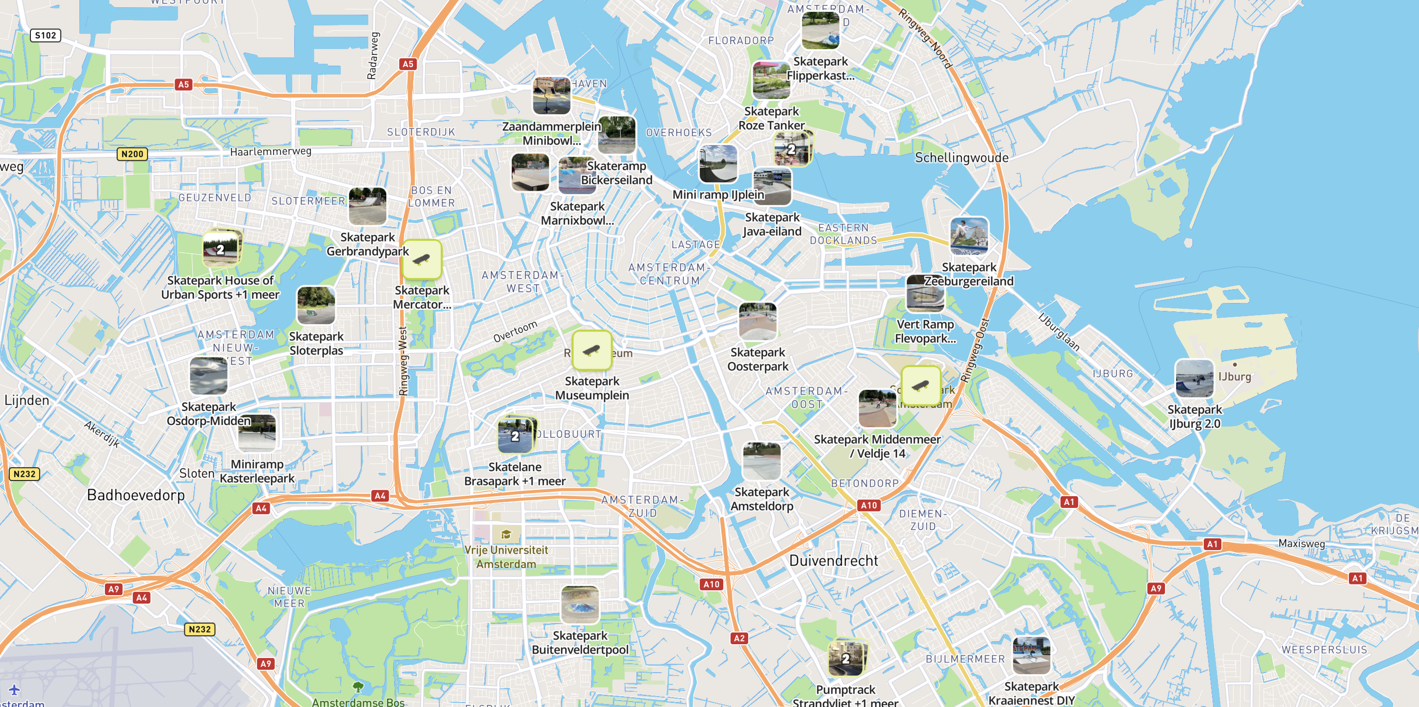
- 3
Share or embed
Share the map with a link, or embed it in your own website with a snippet of code.
jouwwebsite.nl/kaart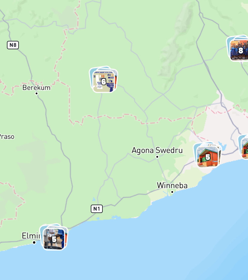
Build this yourself in Studio
Studio opens straight in your browser. You only need an account once you want to save or publish your map.
What you get
Once you build an interactive map in localthings, this comes with it as standard:
CSV and JSON import
Add a complete dataset in one go.
Category and date filters
Filter by topic, or by today, this weekend or this month.
Your own colours, per category
Use your accent colour and a colour code per category.
Also useful: a store locator for all your branches · a public-facilities map for your council
Frequently asked questions
Do I need to know how to code?
No. You build the whole map in the visual builder — adding locations, choosing colours and publishing, without a line of code.
Can I make an interactive map for free?
Yes. You start free with one map and up to 100 locations, including every map style and your own branding.