What can you build a map for?
Pick the situation that looks like yours and see which map fits it.
Tourism & recreation
Events & festivals
Businesses & shopping areas
Everything your map needs
Every capability you get when you build a map with localthings — from drawing areas and CSV import through to analytics. Almost all of it is free; anything that needs a plan is marked.
See what it looks like in practice →



No-code map builder
Build and publish without code or anything to install.
Place and move pins
Put locations exactly where they belong, and adjust later.
Draw areas
Draw polygons alongside individual locations.
CSV and JSON import
Add a complete dataset in one go.
Spreadsheet editor and preview
Check and edit rows before they land on the map.
Configure columns and fields
Choose the title, description and which data visitors see.
Import localthings data
Use existing data sources such as drinking fountains and cash machines.
Autosave
Your changes are kept while you build.
Your own colours, per category
Use your accent colour and a colour code per category.
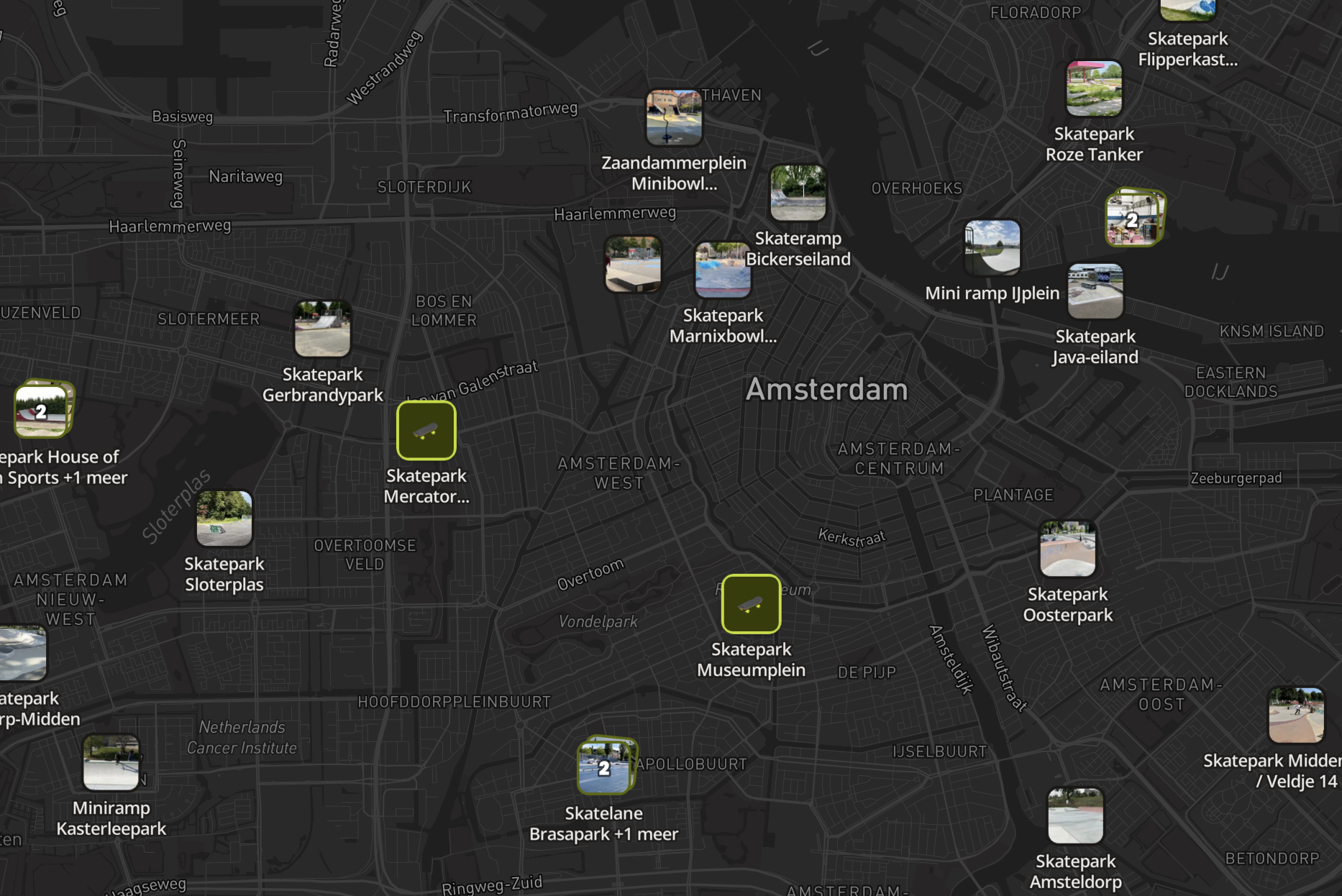
13 map styles and dark mode
Pick a basemap and force light, dark or automatic.
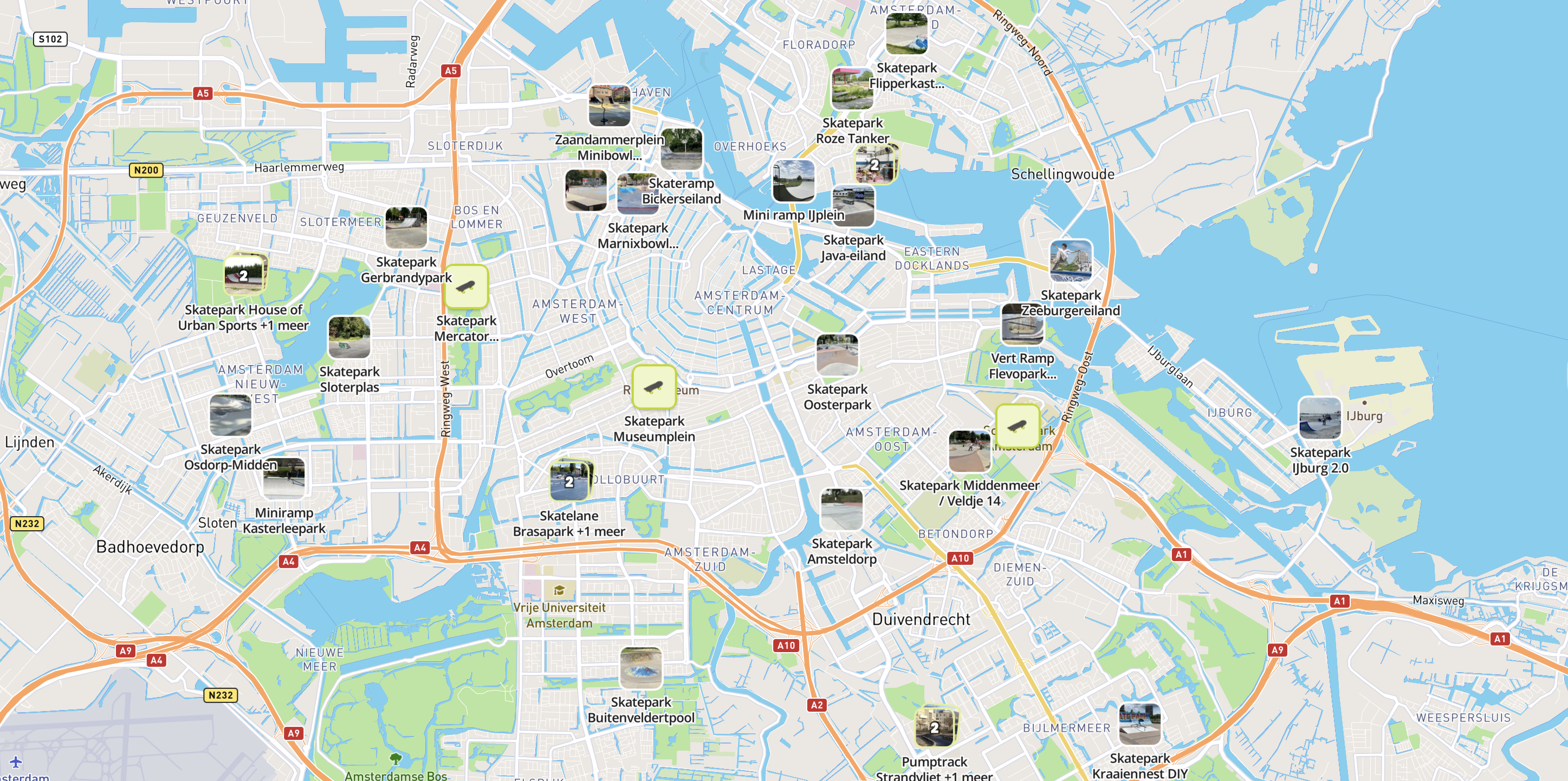
Introduce your map
Use your logo, a title and a description to explain what visitors will find.
Map intro with CTA buttons
Add a title, a description and up to two actions.
Start position and zoom
Decide what visitors see when the map opens.
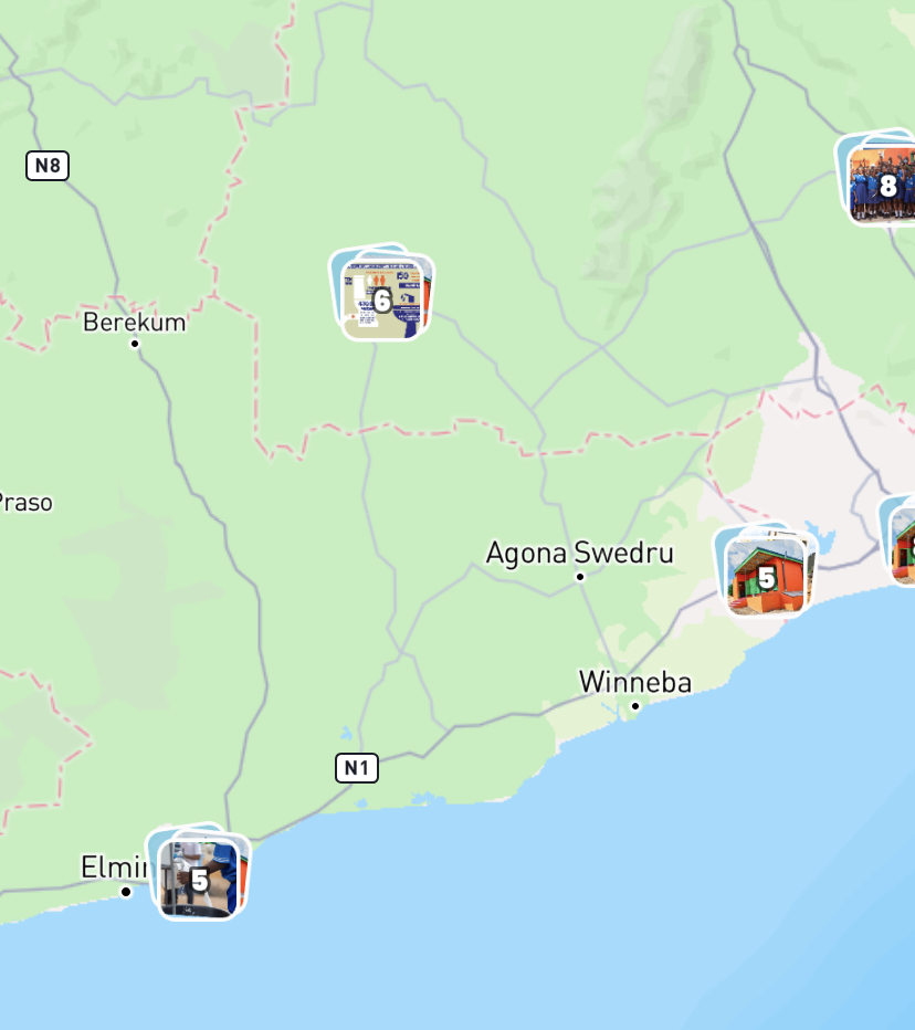
Photo pins and marker shapes
Use round markers or rectangular pins with images.


Labels, badges and clustering
Keep a map with many locations readable.
Social preview
Set the title, description and image for shared links.
Remove localthings branding
Publish entirely under your own brand.
Location cards with details
Show photos, address, description and your own fields.
Directions via Google or Apple Maps
Let visitors navigate there in one tap.
Sharing and error reports
Share the map or one place, and collect corrections.
Use my location
Centre the map on where the visitor is.
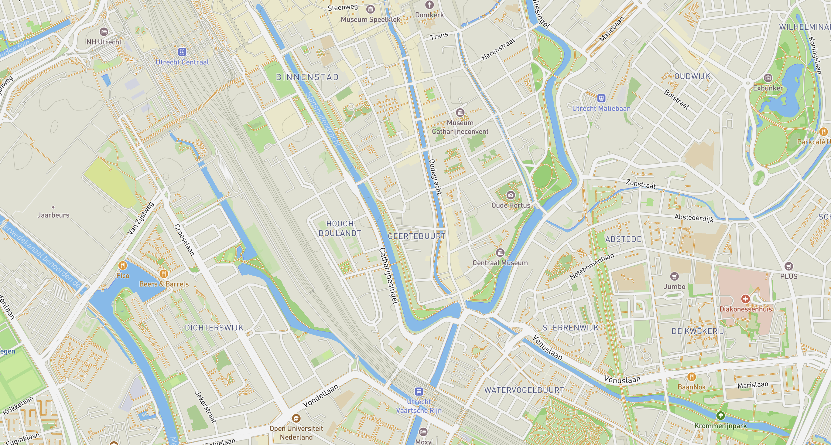
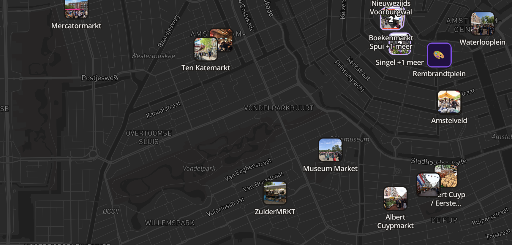
List and map view
Let visitors browse locations two ways.
Category and date filters
Filter by topic, or by today, this weekend or this month.
Hide expired locations
Keep a calendar current without touching it.
Mobile map interface
Responsive design with a mobile bottom sheet.
Stat boxes on location cards
Turn your own data into up to five clear info boxes.
Walking-distance estimates
Show roughly how long the walk to a location takes.
Location search
Let visitors find a specific place fast.
Shareable map and location links
Every location has its own direct link.
Publish instantly
Saved changes can go live straight away.
Online, offline or private
You decide when your map is reachable, and by whom.
Fully hosted
No servers, no deploys, nothing to maintain.
Embed on your own website
Place the interactive map as an iframe in a page or an article.
Your own domain
Publish on map.yourcompany.com, for example.
Visitor chart and date range
See pageviews for today or the last 7, 30 or 90 days.
Most-viewed locations
See which pins get opened most often.
Referring sources
See which websites your visitors arrive from.
Live-refreshing figures
New visits appear in your overview on their own.
Privacy-friendly analytics
No cookies, no personal data, and bots are filtered out.
Exclude your own traffic
Filter your own IP addresses out of the statistics.
No quotes, no setup fees. Everything above starts free; the full works — your own domain, white-label — is Premium.
See the pricing →