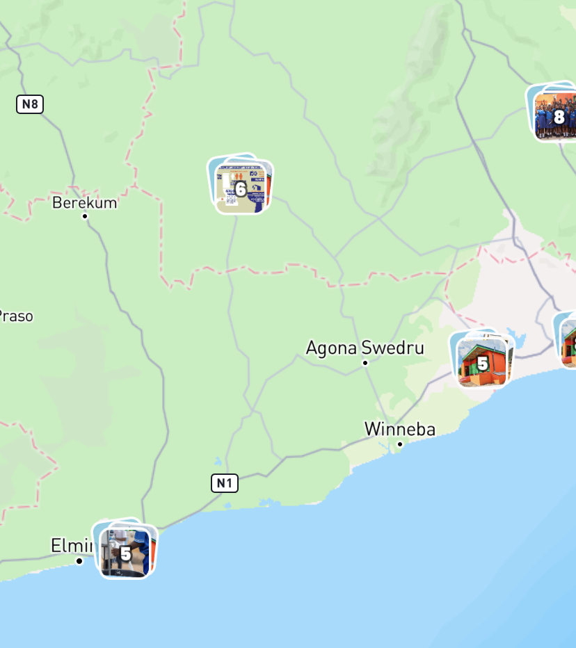
A tourist map that gets visitors exploring
Destination marketers, visitor centres and local authorities want to show people what there is to do — but a static PDF map dates quickly and is unusable on a phone.
Ideal for: SightsRestaurants & terracesWalking routesEventsParking & transit
Short answer
- A tourist map puts sights, places to eat, routes and events on one map as clickable points, instead of in a leaflet or a PDF.
- No code needed: type locations in, or import them from a list you already have.
- Categories decide what visitors filter on — food, culture, nature — and every point gets its own card with a photo and a description.
- Publish it as a shareable link, or embed it on your destination's own site.
- Free to start; a custom domain and removing our branding are in the paid plans.
What that looks like
Our own things-to-do map
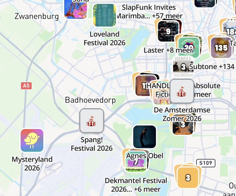
Festivalzomer is the map next to this one: every festival in the Netherlands this summer, built in the same Studio. Click into it — it is the real, published map.
- 2,157 festivals across the Netherlands on one map.
- Visitors filter by genre instead of scrolling a list.
- Every festival opens in its own card, most of them with a photo.
- One link, which you update without republishing the map.
What you get
Once you build a tourist map in localthings, this comes with it as standard:
Photo pins and marker shapes
Use round markers or rectangular pins with images.

Category and date filters
Filter by topic, or by today, this weekend or this month.
Embed on your own website
Place the interactive map as an iframe in a page or an article.
yourwebsite.com/map