Map your facilities for the people looking for them
Foundations, associations and public organisations often run dozens to hundreds of places: collection points, drop-in centres, project sites, shared facilities. Anyone who wants to use one should not have to dig through a spreadsheet or a PDF.
Ideal for: Collection & drop-off pointsDrop-in centres & support pointsProject locationsShared facilitiesPartners & volunteer sites
- Mapping facilities means putting every place on one map as a clickable point, with the details your visitor actually needs per location.
- You decide which fields are visible: opening hours, what is and is not possible, contact details, or your own per-location attributes.
- Categories split the offering, and within a category you can group one level further by place, theme or year.
- Maintaining it happens in a table view next to the map, or by dragging the pin, so a change never needs a developer.
- Free to start; searching within the map and the extra grouping level are in the paid plans.
Nearly 17,000 places on one map
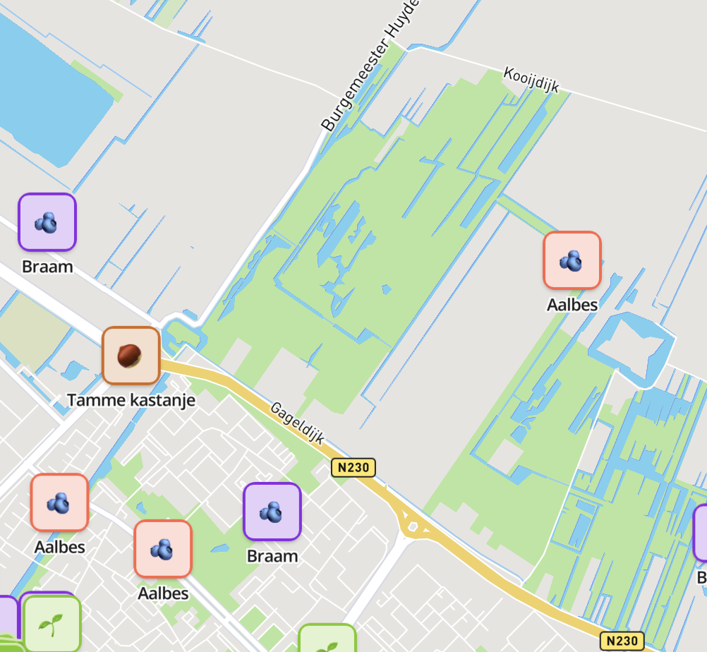
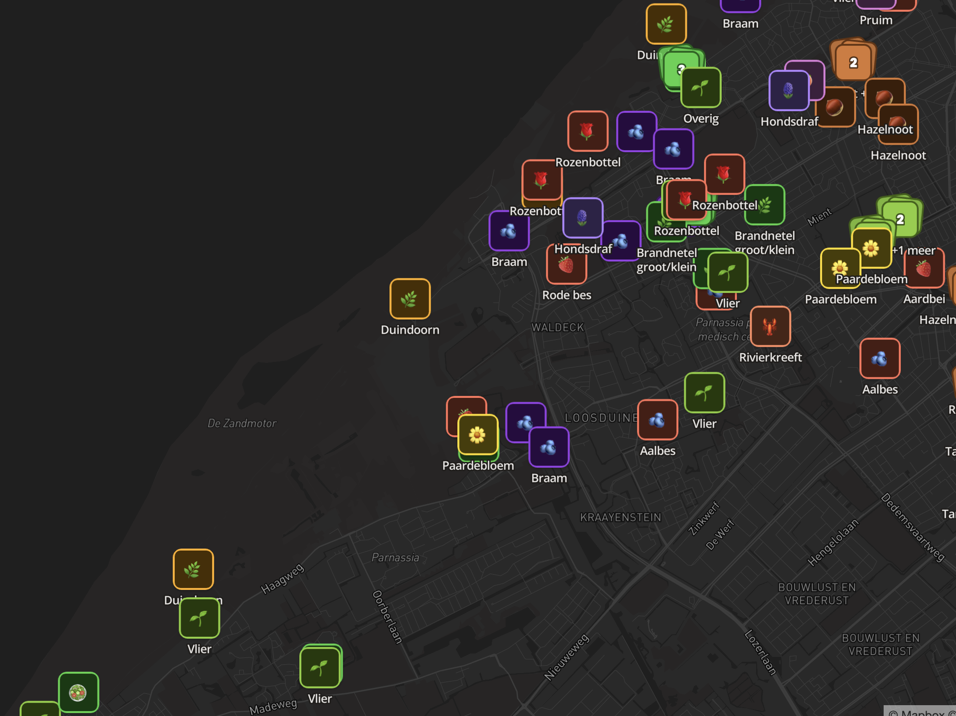
We built this map ourselves: every foraging spot in the Netherlands, across eight categories. Same Studio, same steps, and visitors keep their bearings.
- 16,988 points across 8 categories.
- Visitors switch categories on or off instead of scrolling through everything.
- Points cluster automatically until you zoom in.
- One import, no manual layer or style configuration.
What you get
Once you build a map of facilities in localthings, this comes with it as standard:
Configure columns and fields
Choose the title, description and which data visitors see.
Extra legend level
Group locations within a category by city, theme or year.
Spreadsheet editor and preview
Check and edit rows before they land on the map.
Also useful: the list you already have, as a map